تجميع ودمج البيانات
صور أقمار صناعية وطبقات مكانية متعددة في مصدر موحّد.
 GROUNDTRUTH AI

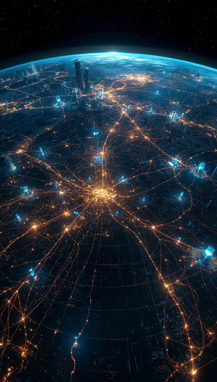
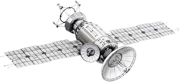
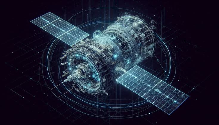
تستخدم GroundTruth AI الذكاء الاصطناعي وبيانات الأقمار الصناعية لتحويل المشاهد المعقدة إلى توصيات عملية تساعد المؤسسات على اتخاذ قرارات أسرع وأكثر دقة.
نحوّل كل بكسل إلى إشارة، وكل إشارة إلى توصية قابلة للتنفيذ في الميدان.
صور أقمار صناعية وطبقات مكانية متعددة في مصدر موحّد.
نماذج تحليلية مع مراجعة الخبراء لضمان جودة النتائج.
ترتيب الأولويات وفق الأدلة والثقة والقيود.
خرائط وتقارير جاهزة للفرق وصنّاع القرار.
يبدأ المسار بإشارة واسعة وينتهي بقائمة قصيرة قابلة للفحص والتنفيذ.
نقيس الأداء ضمن أنظمة تحقق محددة، ونوثّق النتائج والقيود كما هي.
أُجري اختبار منضبط شمل 100 موقع بمشاركة جهة وزارية، مع توثيق كامل للنطاق وحدود الاستدلال.
مراجعة تقرير الأدلة الكلينبني المنتج ضمن مراحل واضحة تقيس الجاهزية التقنية قبل توسيع الادعاءات.
منظومة متعددة المصادر قابلة للتكرار.
اختبارات مكانية موثقة وحدود واضحة.
تجربة محددة ببروتوكول ثابت ومستقل.
إثبات القيمة في بيئة تشغيلية حقيقية.
تجميد النموذج والعتبات قبل كشف الحقيقة الميدانية، مع حفظ سجل القرار كاملًا.
الشريك يحدد المنطقة وخط الأساس.
لا تعديل بعد تثبيت البروتوكول.
قفل النتائج قبل كشف البيانات المرجعية.
مراجعة مستقلة للقيمة التشغيلية.

القيادات الأساسية كما وردت في عرض GroundTruth AI المعتمد لـ AI Expo 2026.
المخترع وصاحب الرؤية التقنية، يقود الذكاء الجغرافي والتخطيط الاستراتيجي والشراكات المؤسسية.
تقود شؤون الأفراد والشراكات والعمليات، وتربط تنفيذ المنتج باحتياجات الشركاء.
يقود الإدارة المالية وإدارة الشركة لدعم النمو المنضبط والجاهزية المؤسسية.
تُفتح جميع المواد من النسخة المحلية السريعة، وتبقى الملفات التقنية الحساسة خلف بوابة الدخول المحمية.